Main photo: Guanella Pass Biking | Photo by Bert Weaver
Fall colors truly shine along Colorado’s scenic byways
Predicting when the leaves will turn gold and red isn’t an exact science. Some years it happens in early September, and other years it waits until the first couple weeks of October. But whenever it happens, the best places to see the fall colors never change, and it’s easy to access them from one of Colorado’s scenic byways.
Colorado has 26 scenic byways, and 11 of those have been designated by the U.S. Department of Transportation as America’s Byways, a collection of 150 distinct and diverse roads that span the continent. Not surprisingly, Colorado has more of these designations than any other state.
You can find scenic byways in every corner of Colorado, including several easily drivable routes within Northern Colorado. The most heavily traveled is the 101-mile Cache La Poudre North Park Scenic Byway. Connecting Fort Collins and Walden, this drive provides views of the Poudre Canyon and majestic vistas from Cameron Pass. Around Walden, drivers get awesome views of the wide-open spaces and distant mountain ranges.
The road offers many places to stop and stretch your legs. You’ll find good hiking on Grayrock Trail in Poudre Canyon, or for a more out-of-the-way option, try the hike to the Lulu City townsite from Long Draw Road near Cameron Pass.
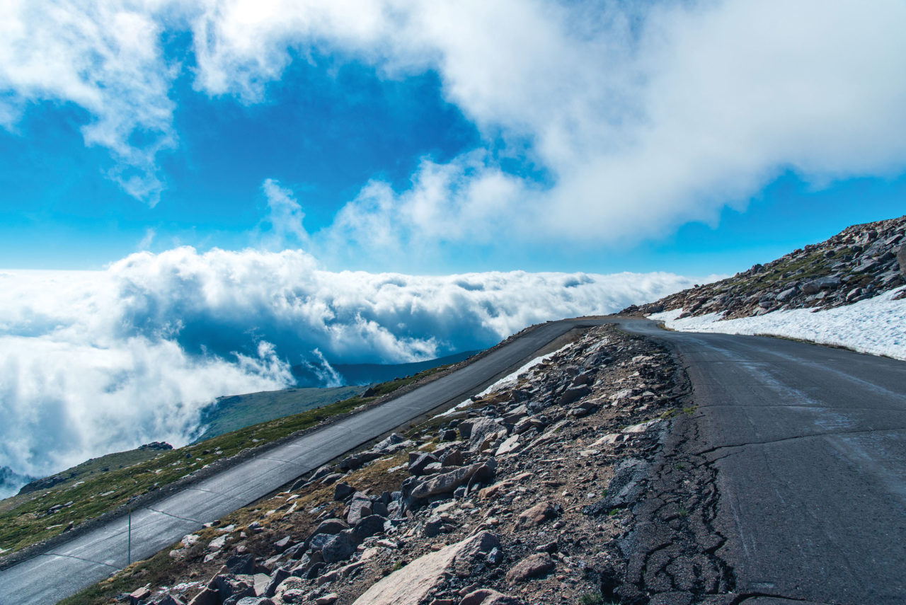
Mount Evans Scenic Byway
Maroon Bells | Photo courtesy of CO Scenic Byways
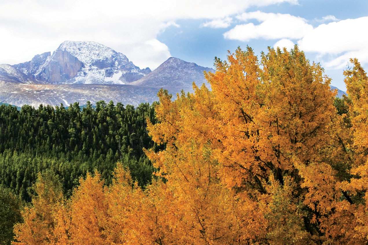
Another NOCO byway, Trail Ridge Road, is located inside Rocky Mountain National Park. Famous for being the highest paved through-road in the United States, this 48-mile highway reaches an elevation of 12,183 feet above sea level and features spectacular alpine beauty. Wildflowers bloom into the fall, and wildlife routinely sunbathe and graze in full view of this iconic road.
Rocky Mountain National Park is spectacular at any time of year, but during fall you’ll enjoy a tranquility that comes with the change of seasons. From Grand Lake to Estes Park, the sun streams through yellow aspen trees, and the two-hour drive is guaranteed to take much longer when an avid photographer is in the car.
Colorado’s other “highest” road, Mount Evans Scenic Byway, dead-ends at the peak’s summit at 14,130 feet above sea level, making it the highest paved road in North America. Located 60 miles west of Denver and just south of Interstate 70, this route ranks as one of the best places in the state to catch sight of a bighorn sheep. In fact, the town of Georgetown, just northwest of Mount Evans, holds a bighorn sheep festival each November.
The town also serves as the northern terminus of the Guanella Pass Scenic Byway, a steep, mostly unpaved road that climbs above treeline and runs beneath the shadow of Mount Bierstadt. It’s only 22 miles from Georgetown to the byway’s southern endpoint (the tiny town of Grant, on U.S. Hwy. 285), but plan for the route to take at least an hour.
Guanella Pass Scenic Byway runs between the South Platte and Clear Creek watersheds, passing through dense stands of aspen. In autumn, this is a wonderful drive that is made more memorable by lunch at The Shaggy Sheep, Grant’s only eatery and a favorite along U.S. 285.
Mount Evans Scenic Byway dead-ends at the peak’s summit at
14,130 feet above sea level, making it the highest paved road in North America.
Lariat Loop, a designated National Scenic Byway, connects Golden, Morrison and Evergreen. This roadway is truly special in autumn, providing beautiful vistas close to the Front Range. There are many sights along the 40-mile route, including historical spots such as Buffalo Bill’s Grave and Museum and the Colorado Railroad Museum.
It’s worth taking a weekend to explore the area, using Golden as a base. Spend the morning on one of the many hikes around this charming riverfront town. For instance, the Lookout Mountain Trail provides sweeping views that are dotted with amber aspens during the autumn. Then stop in at one of Golden’s numerous breweries. Golden City Brewery, established in 1993, is a local favorite. With scrumptious food trucks and a large beer patio, it’s a winner after a long day on the road and trails.
The Peak to Peak Scenic Byway is one of the most popular leaf-peeping routes in Colorado, and for good reason. It connects Estes Park and the gambling towns of Black Hawk and Central City, so there might be gold at the end of this colorful road. Along the way, you might spot an old Volkswagen bus or two in old Colorado hippie towns like Ward and Nederland.
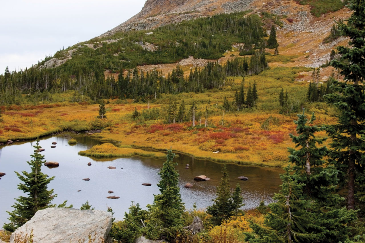
Brainard Lake and the Indian Peaks
The 55-mile Peak to Peak provides views of the Continental Divide and has an iconic Colorado feel. Established in 1918, it’s the oldest scenic byway in Colorado. The many trailheads along the route offer access to some of the best hiking in Colorado, enabling you to explore Rocky Mountain National Park, the Indian Peaks Wilderness and Golden Gate Canyon State Park, a four-season destination with year-round activities. For those who wish to stay awhile, cabins and yurts are available here.
To get an overview of all 26 scenic byways in Colorado, visit www.codot.gov/travel/scenic-byways. This website not only breaks the byways into regions but also provides an interactive map that shows the route of each byway. It’s a handy resource to browse before heading out on a leaf-peeping excursion. Don’t let this fall pass by without an outing to see the leaves on one of these tried-and-true routes.