Completed Trail Project Connects Residents and Increases Safety
The City of Greeley has completed phases two and three of the Greeley #3 Canal Trail. This project allows residents to connect to local schools, parks, natural areas and neighborhoods.
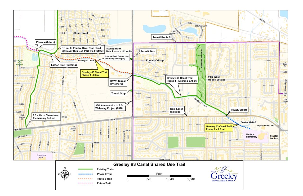
Phase two connected the southeast end of the trail across 4th Street to James Madison STEAM Academy. Phase three extended the paved trail west across 35th Avenue, creating a connection to Shawsheen Elementary via the Larson Trail. The paved trail is now 1.6 miles long.
The installation of a pedestrian activated crosswalk signal allows trail users to safely cross 4th Street near 26th Avenue. The pavement features stamped wildlife footprints as part of the city’s 1% for Art program.
“This project would not have been possible without support from multiple partners. It truly was a community effort,” says environmental planner Karen Scopel.

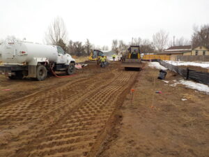
Creating the Greeley #3 Canal Trail. Photo courtesy of Amy Bahar.
The North Front Range Metropolitan Planning Organization, Weld County School District 6, Poudre River Trail Corridor, Inc. and matched funds from the City of Greeley provided financial support for the roughly $800,000 project.
The project’s initial phase began in 2012 with a long-range plan to connect Greeley #3 Canal Trail to the Poudre River Trail. The path runs along the historical #3 irrigation ditch, the first completed ditch in Greeley. The ditch was built in 1870 to deliver water from the Cache la Poudre River to the early Union Colony settlers.
To learn more about Greeley’s Natural Area and Trails projects, visit greeleygov.com/natural-areas.

